Utah's Y Couloir May 2019
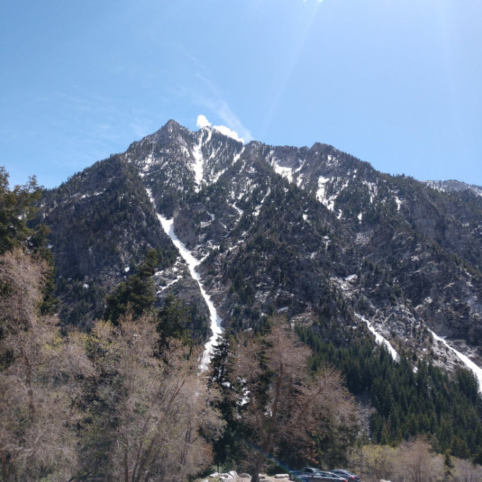
The Y couloir in Utah is an absolute classic. It's one that weed out the faint hearted and push the strong to the point of throwing up. With booting up 3,400 feet from the Little Cottonwood Canyon road to nearly 10,000 feet, the Y presents beautiful, unique views and incredibly lefts followed by rights... endless lefts followed by endless rights.
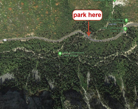
In the springtime, there are 2 ways to approach this. The "Long Way" and the "Short way". The Long way keeps your feet dry by using the little cottonwood bridge followed by traversing boulder fields and dense forest for about 45 minutes. Rather than hiking uphill after the bridge and then traversing, i recommend hugging the edge of the river until you can see directly up the Y couloir, and then dive into your straightup approach. The Short Way involves crossing the LCC river which can be quite frightening in the highest runoff season, especially for our smaller, easily swept away hikers. Take the time to scout out a mellower river crossing -- they exist. Regardless of whether or not you choose to cross the river by the bridge or on feet, this map should help for where to park

The route up the Y couloir is about as basic as it gets. You put your skis on your pack and hike the next 3,400 feet. Here's a couple tips that may help.
1. In spring conditions, if it got below freezing at night you will need crampons.
2. If it stayed above freezing, and you're hiking in the mid day sun, you could get by without crampons but i'd say carrying an extra 1.5lbs is worth the peace of mind.
3. Earlier is better. As the sun warms the snow, you become more susceptible to the dangers of wet slides and rock fall
4. If you want to stand on the summit, i recommend hiking up the ridge/cornice on the lookers right to gain the ridge. If you hike to the lookers left at the very top you can get better skiing in, but there are more rocks to scramble over to gain the summit.


